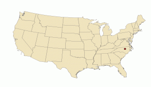
Raleigh (Raleigh)
 |
 |
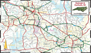
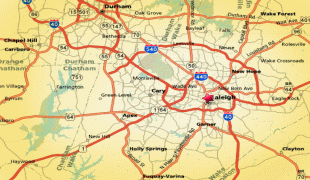
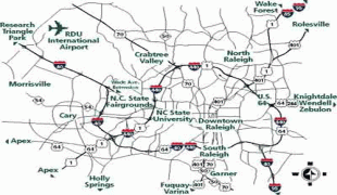
Raleigh is home to North Carolina State University (NC State) and is part of the Research Triangle together with Durham (home of Duke University and North Carolina Central University) and Chapel Hill (home of the University of North Carolina at Chapel Hill). The name of the Research Triangle (often shortened to the "Triangle") originated after the 1959 creation of Research Triangle Park (RTP), located in Durham and Wake counties, among the three cities and universities. The Triangle encompasses the U.S. Census Bureau's Raleigh-Durham-Cary Combined Statistical Area (CSA), which had an estimated population of 2,037,430 in 2013. The Raleigh Metropolitan Statistical Area had an estimated population of 1,390,785 in 2019.
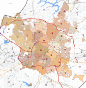
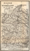
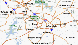
Most of Raleigh is located within Wake County, with a small portion extending into Durham County. The towns of Cary, Morrisville, Garner, Clayton, Wake Forest, Apex, Holly Springs, Fuquay-Varina, Knightdale, Wendell, Zebulon, and Rolesville are some of Raleigh's primary nearby suburbs and satellite towns.
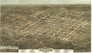
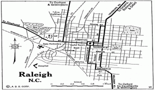
Raleigh is an early example in the United States of a planned city. Following the American Revolutionary War when the U.S. gained independence, the area was chosen as the site of the state capital in 1788 and incorporated in 1792 as such. The city was originally laid out in a grid pattern with the North Carolina State Capitol at the center, in Union Square. During the American Civil War, the city was spared from any significant battle. It fell to the Union in the closing days of the war and struggled with the economic hardships in the postwar period, related to the reconstitution of labor markets, over-reliance on agriculture and the social unrest of the Reconstruction Era. The establishment of the Research Triangle Park (RTP) in 1959 helped create tens of thousands of jobs in the fields of science and technology. By the early 21st century, Raleigh had become one of the fastest-growing cities in the United States.
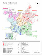
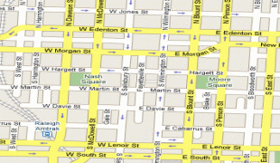
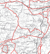
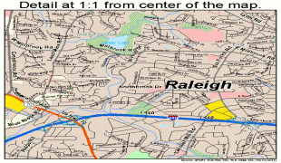
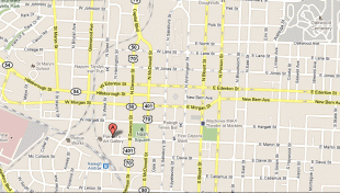
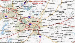
Map - Raleigh (Raleigh)
Map


Country - United_States
 |
 |
| Flag of the United States | |
Indigenous peoples have inhabited the Americas for thousands of years. Beginning in 1607, British colonization led to the establishment of the Thirteen Colonies in what is now the Eastern United States. They quarreled with the British Crown over taxation and political representation, leading to the American Revolution and proceeding Revolutionary War. The United States declared independence on July 4, 1776, becoming the first nation-state founded on Enlightenment principles of unalienable natural rights, consent of the governed, and liberal democracy. The country began expanding across North America, spanning the continent by 1848. Sectional division surrounding slavery in the Southern United States led to the secession of the Confederate States of America, which fought the remaining states of the Union during the American Civil War (1861–1865). With the Union's victory and preservation, slavery was abolished nationally by the Thirteenth Amendment.
Currency / Language
| ISO | Currency | Symbol | Significant figures |
|---|---|---|---|
| USD | United States dollar | $ | 2 |
| ISO | Language |
|---|---|
| EN | English language |
| FR | French language |
| ES | Spanish language |